Hiking
- Via Iulia Augusta: built in 13 A.C. at the behest of Emperor Augustus to connect Rome to southern Gaul. The Roman road connects Alassio and Albenga (5,5 km).
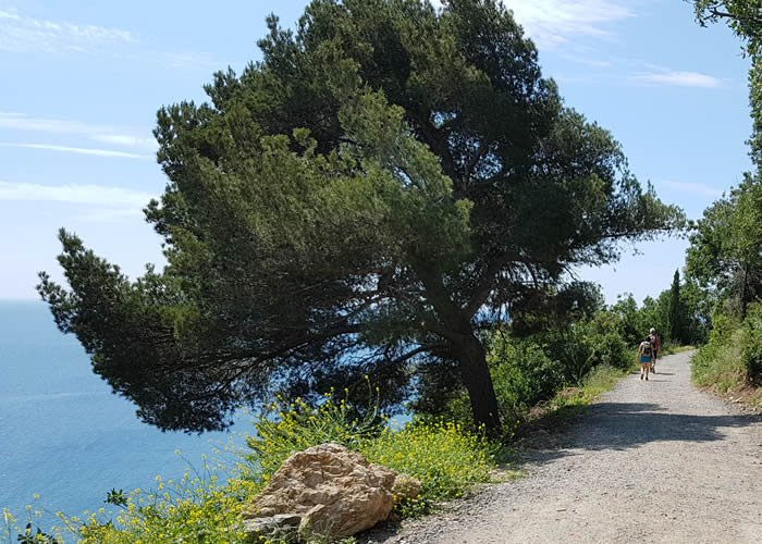
- Percorso Verde: Path completely rural: the path begins on the right of Via Solferino, in the Fenarina region, immediately after the number 61.
- Madonna della Guardia: To the right of the square in front of the cemetery of Alassio (confluence of via Gastaldi with via Michelangelo), between two dry walls begins the path that climbs (medium-high slope) holding on the right some villas and greenhouses and on the left walls and strips of olive trees.
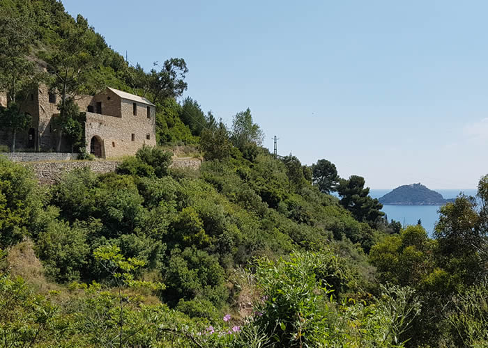
- Torre di Vegliasco: The beginning of the route is located in via Michelangelo and it can be reached shortly from Piazza S. Ambrogio, heading uphill along the left side of the complex of the Salesian Institute.
- Due Vie: It is a very steep path in cobblestones, which is used by those who want to avoid the longest climb of Madonna delle Grazie to reach Vegliasco region.
- Regione Palazzo: From the traffic light in front of the train station, follow the initial section of the provincial road for Moglio-Testico which, after having undergone the railway, follows it for an uphill section.
- Monte Bignone: The entrance to the route is at Piazza Stalla, where Via Aurelia crosses Via Milano (at the bottom of which you can see the "Torrione" on the sea). After passing a narrow railway underpass (regione Ciazze) go uphill to the right in a discrete slope for a wide staircase.
Cycle paths
- Anello della Baia: Interesting and varied excursion that runs through the bay in sesno hours, coming up to Albenga.
- Anello di Vegliasco: Beautiful hike with interesting technical features, challenging but never exasperated, allows you to take a nice hike with a view of the beautiful gulf.
- Alassio - Paravenna: Giro discretamente impegnativo per il suo sviluppo e per l'altimetria, ha un tratto completamente in fuoristrada tra i più lunghi che si possano fare in zona, si paga lo scotto con un ritorno sulla panoramica Alassio – Testico.
- Laigueglia - Torre Saracena: Excursion on the hills between Laigueglia and Andora, dedicated to fans of technical routes.
- Piana di Albenga: Various paths and dirt roads lead us to the eastern mountain area of the plain of Albenga, touching the towns of Arnasco and Vendone, at high points, the view is assured, two short thrust strokes are the contour of the excursion with some short ascents with cycle paths but challenging.
- Anello di Finalpia: Tour of the Finale with departure from Finalpia, on paths in the Manie area. Panoramic passages and technical itineraries are the life motiv of this excursion within the reach of all those who can go off-road.
- Calizzano - Toboga: The area of Bardineto and Calizzano, is a place full of ideas for fans of fat wheels, there are many trails that descend from the slopes that overlook the two towns.
- Pizzo d'Evigno: Beautiful excursion that rises above 800slm from the sea, always overlooking the sea. Long climb on a dirt road and trail, all cycle paths, crossways off-piste on alpine pastures and descent again on dirt road to the town of Testico.
- Monte Saccarello: Climb to the highest mountain in the Ligurian Alps, Mount Saccarello. Starting from San Bernardo di Mendatica on Asphalt, you reach Monesi di Triora, starting a long climb, partly on concrete, then dirt, which leads to the great statue of the Redeemer (altitude m 2.201).


